Fullerton Neighbors by Block
A block lookup begins with the boundary around a known Fullerton address. The City of Fullerton GIS gallery and its GoZone layers can show address points, parcels, zoning, the city limit, private streets, and ZIP codes. The Orange County Assessor adds assessment and mailing information when the parcel can be matched. A historic criss-cross directory can add an older listed occupant, while a voter file is not a casual way to name people at nearby homes.
| Source | What It Shows About a Block | Access |
|---|---|---|
| Fullerton GIS parcels and addresses | Adjacent lots, APNs, address points, zoning, city and ZIP context | Free map browse and click |
| Orange County assessment record | Assessment, mailing address, parcel characteristics, and an ownership association when displayed | County gateway or counter |
| Fullerton permits and code files | Applicants, contractors, work, notices, and change dates tied to an address | Online and development counter |
| Historic criss-cross directories | Listed occupants, phones, or occupations along a street in a publication year | Fullerton Public Library, onsite or by archivist help |
| California voter information | Own-record status, or restricted fields for an approved statutory purpose | Self-lookup or approved data application |
These sources do not create one complete resident list. An owner may use a different mailing address. A renter or family member may appear in neither the deed nor the assessment display. A map tells where a parcel sits, not who is present at a given hour.
| Official roll or map | Unnamed commercial neighbor tool |
|---|---|
| Starts with a named custodian, parcel, case, or published collection; limitations are visible. | May merge public and purchased data, hide its source, lag corrections, or charge for a result. |
| Best for a narrow, checkable question and follow-up with the office. | At most an unverified lead, never proof of current presence or identity. |
Define a Fullerton Block in GIS
Fullerton GIS is useful because several boundaries can be viewed together. Search the address locator, select the standardized address, and zoom until parcel shapes appear. Turn on the parcel and address layers, then add zoning, city limit, private-street, or ZIP layers as the question needs. The public MapServer documents Address and City Address, Address Point, Parcel or Parcels, Zoning, Zoning Boundary, City Limit, Community Development Type, Private Streets, Overnight Parking, and ZIP Code layers. The layer service reports a 1,000-record maximum, so a whole-city query should be broken into a street, parcel group, or smaller area.
Click the anchor parcel first. Record its APN and situs address before clicking each touching or nearby polygon. Corner lots, curved streets, flag lots, private streets, and multifamily parcels can make a simple number range misleading. The map gives a reproducible block definition, but an app's selection or measure tools vary. Use the parcel geometry as the first step, then open the official record for each APN instead of treating a map pop-up as a legal owner record.
- Parcel
- A mapped legal land unit identified by an APN or parcel record. One address can cover more than one parcel.
- Situs address
- The physical location of the land or structure, distinct from an owner's tax-mailing address.
- APN
- An assessor parcel number used to link a map, assessment record, and legal description.
- Buffer or radius
- A chosen area around an anchor point. It is a research boundary, not a city or postal rule.
Click Adjacent Fullerton Parcels
The adjacent-parcel method keeps the inquiry tied to a place. It also limits the number of records that need checking. Start with the known address in the Fullerton GIS gallery, confirm the city-limit layer, and note the ZIP and APN. Then inspect the assessment channel for each APN. The county gateway sends web users toward ParcelQuest and warns that the data must be verified. Public owner-name searching through the external interface was not verified, so use the county public-service counter at 500 S. Main Street, second floor, Orange, when the web display cannot answer the parcel question.
- Locate and standardize the anchor address in the map.
- Click the anchor parcel and save the APN, situs, and boundary context.
- Click only the touching or clearly chosen nearby parcels, then record their APNs.
- Check assessment and mailing fields for each APN, noting that ownership does not prove occupancy.
- Use permits, public planning files, or a historic directory only for the separate question they can answer.
For the full named-street chain, the Fullerton street directory workflow is the better next step. It follows an address through the assessor, RecorderWorks, city files, and historic street sections without calling a small block a whole street.
Fullerton Civic Maps Without Private Rosters
Some useful neighbor clues are geographic rather than personal. Fullerton map resources can place a block inside a council district, preservation area, school or park context, permit-parking area, zoning category, or city service boundary. Historic Resources and city neighborhood staff can explain public programs and published contact points. A public officer or organization contact represents that group. It is not a census of members.
| City map layer | Shows a public boundary or service area that can explain how the block is governed. |
|---|---|
| Historic preservation area | Shows a civic or architectural context; it does not reveal a private roster. |
| Neighborhood or HOA contact | May identify an organization or public representative; private member lists remain with the group. |
| School, park, or parking map | Shows a place or rule near the block, not the names of all nearby households. |
Research on Fullerton associations found no authoritative, comprehensive city-published member directory. That absence matters. A request for a public contact page is different from a request for a private roster. Use the public community layer to understand a block's setting, then stop where personal membership information begins.
Fullerton GIS Has a Query Ceiling
The MapServer's advertised 1,000-record maximum is a useful practical number. It means a broad query can be incomplete or unwieldy even when the layer itself is public. Narrow by a street segment, parcel set, or ZIP layer, and then verify any result that matters with the custodian. The downloadable address-point data was noted as updated through August 29, 2019, so newer construction or changed addresses should be checked against the live locator and city records.
This is one reason a Fullerton neighbors search should keep a written scope. Note the anchor address, the layers used, the date of the map view, the parcels clicked, and any records that were checked later. A small, dated map trail is easier to correct than a broad claim about everyone who lives near a street.
Voter Data Is Not a Neighbor List
California voter information is often mistaken for an open street roll. The Secretary of State status tool and Orange County lookup are designed for a person's own registration information. Full voter-file access is not public data in the ordinary directory sense. Elections Code §§2188, 2194, and 18109, together with 2 CCR §§19001-19013, control approved purposes, security, and misuse.
Orange County's data application requires a detailed intended use, a wet signature, supporting information, and in-person submission at 1300 S. Grand Avenue, Building C, Santa Ana, under the current instructions. Email or fax is not accepted. The separate Street Index form is limited to qualifying parties under Elections Code §14294. A general visitor cannot use either route to make a neighbor list for private curiosity. Do not infer a neighbor's address from a public election result.
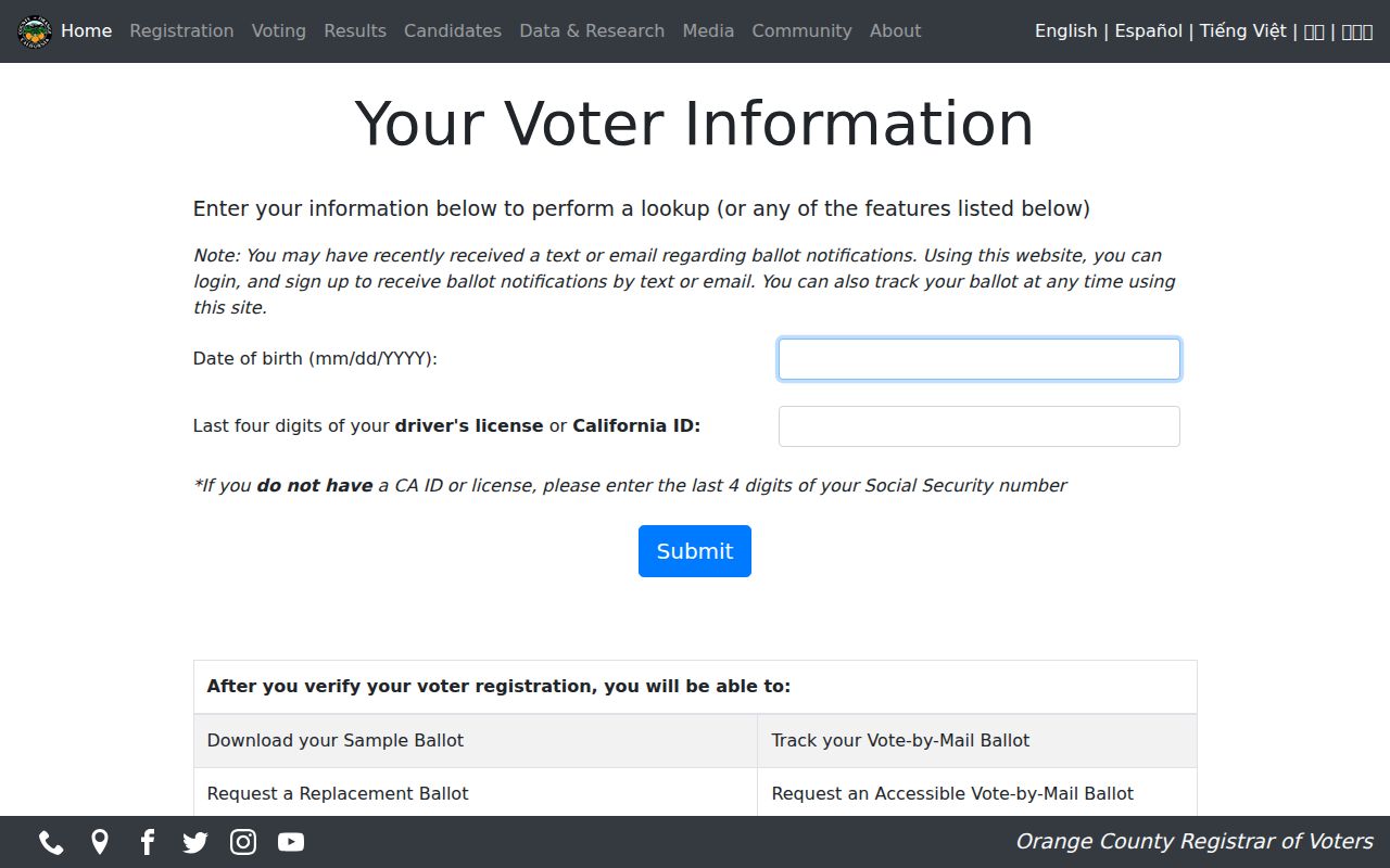
What does a voter self-lookup prove? It can confirm the person's own registration or election information after the required identity facts are supplied. It does not show every adult at an address, a ballot choice, or a complete block census.
Read an Older Fullerton Block
For past Fullerton neighbors, the Local History Room offers a different kind of evidence. Its collections include directories, yearbooks, newspapers, maps, photographs, building files, and digital landmark pages. A criss-cross or address section arranges a street by number and may list an occupant, phone, or occupation. It can show a household that never appears in a deed, but the entry is still a dated publication clue, not proof that every person lived there.
Pair a directory with the nearest federal census from 1900 through 1950. Use Sanborn sheets, permits, and landmark files to decide whether a structure existed, changed, or carried a different number. Fullerton Heritage specifically warns about street-name and house-number changes. A map can preserve the block shape while a directory uses an older label, so compare APN, neighboring landmarks, and legal parcel clues before treating two entries as the same address.
Fullerton's 2025 landmark digital archive adds a timely bridge between place and memory. Its address-specific material joins photographs, documents, surveys, Sanborn references, and dated newspaper citations. That can help distinguish a block story from a present-day assumption about the people who live there.
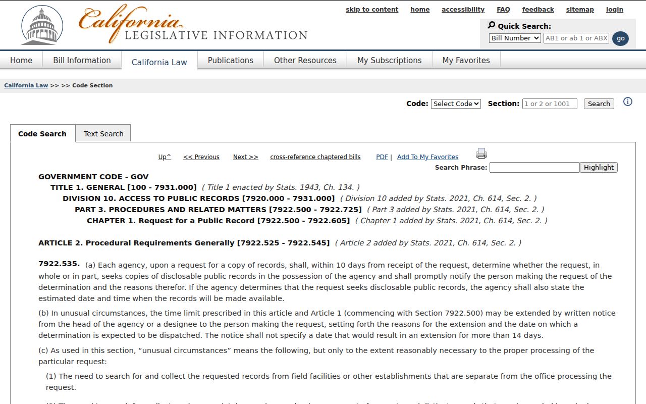
The California public-records deadline is one part of the privacy and access landscape around Fullerton neighbors.
Privacy Limits on Fullerton Neighbors
A block record does not reveal renters, all household members, utility customers, delivery data, or a protected address. California Safe at Home, Government Code §§6205-6216, gives eligible participants a substitute mailing address and confidential voter registration. Do not try to defeat that protection through cross-record matching. DMV information is restricted under the federal Driver's Privacy Protection Act, and a booking or registry result is not proof of residence.
Lawful use. Fullerton neighbor research is appropriate for a narrow personal, family-history, civic, or safety question. Do not use a map, roll, or lookup to stalk, harass, intimidate, or harm anyone.
When a record looks wrong, correct the source with its custodian. When a person may be protected, stop the search. A careful Fullerton neighbors workflow respects the difference between a public parcel and a private life.
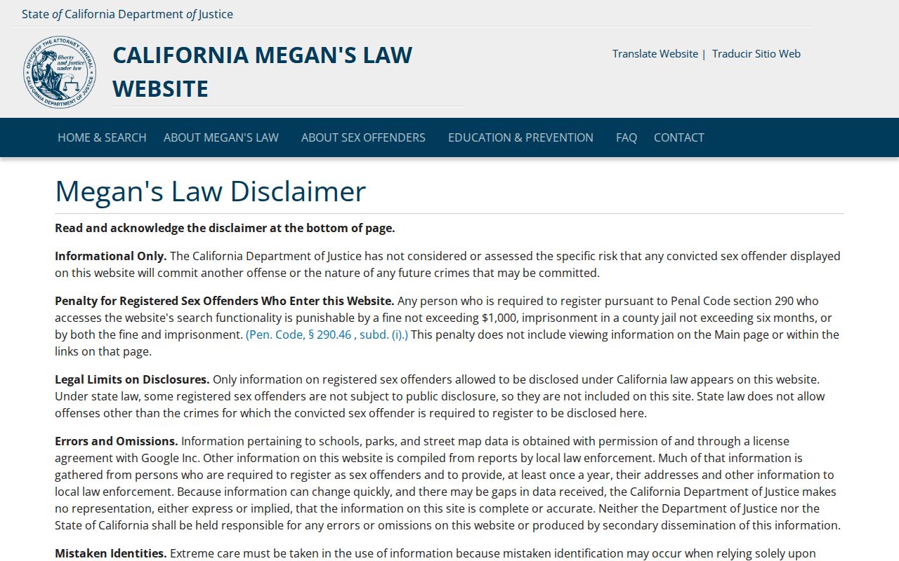
The California Megan's Law search displays statutory notices that also apply to responsible use of public registry information.
The Orange County voter lookup shows why an own-record election tool differs from a neighbor search.
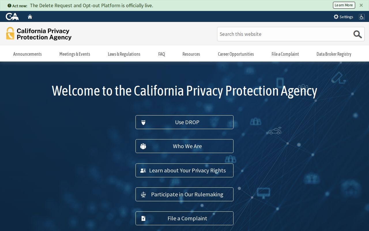
The California Privacy Protection Agency explains the state privacy context for data held by covered businesses.